

The Peak District is remembered for its gritstone edges and bare moor, and its trees tend to be an afterthought, tucked into the cloughs and dales where the wind cannot reach them. That is exactly where the good woodland walking is: sessile oak and birch lining the boulders of Padley Gorge, ash clinging to the limestone crags of Chee Dale, and the old charcoal hearths still pitting the floor of Ecclesall Woods on the Sheffield side. These twelve routes run from a 1.9 mile loop to a 5.7 mile circuit, across Derbyshire, South Yorkshire, Greater Manchester, Staffordshire and Cheshire.
For a dog, woodland means shade on a warm day, shelter on a wet one, and a floor of leaf litter and moss that holds more scent than any open hillside. It also means very different rules from one wood to the next. At Ecclesall a dog with good recall can run the whole way round, while at Lyme and Tittesworth the lead never comes off. Every walk below comes from our map of walks, was chosen because trees cover a real share of the route, and has its lead rules and its drawback set out plainly, so you can pick by your dog first and the scenery second.
Froggatt Edge and Grindleford Circular, Calver
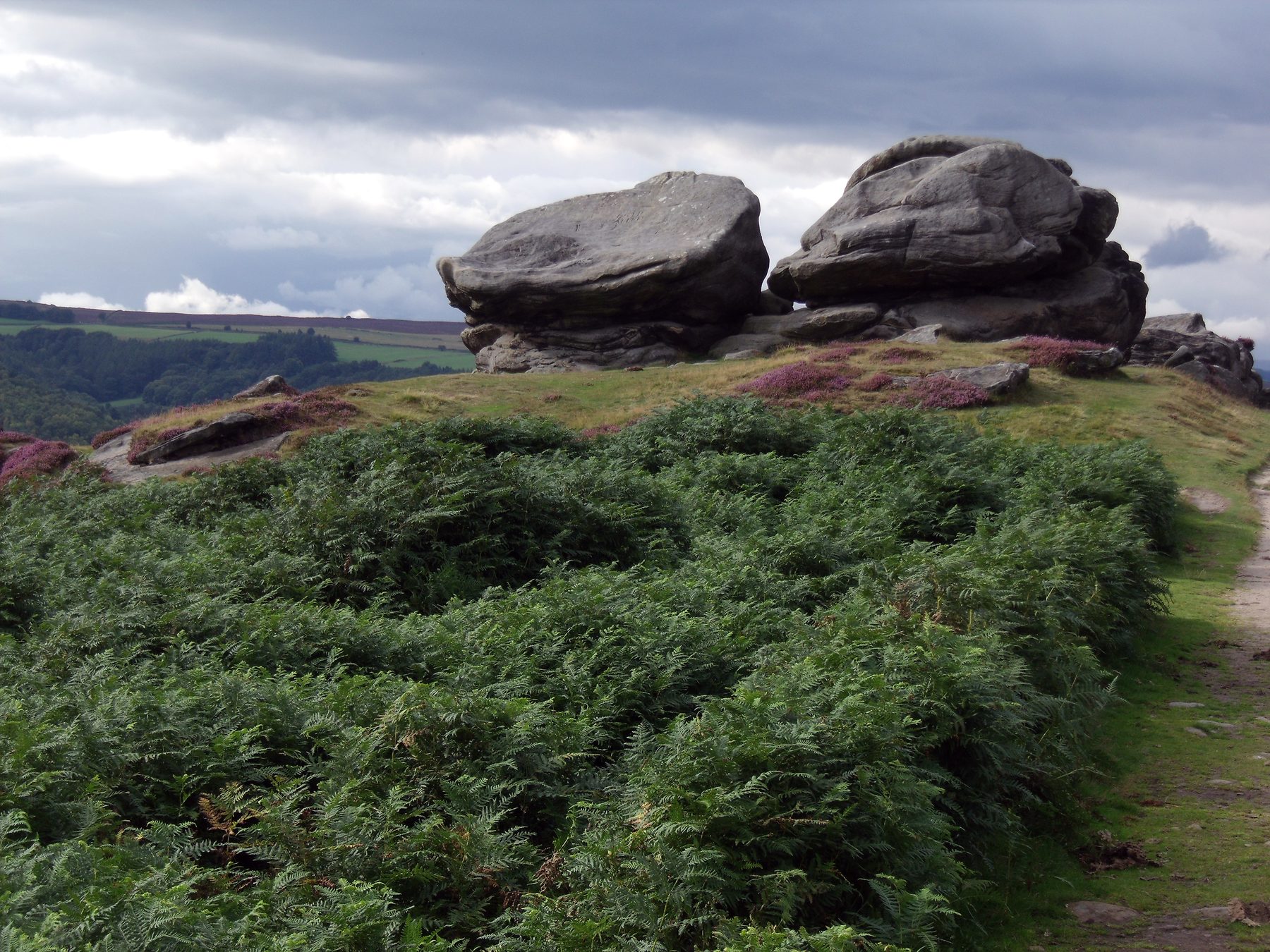
This circuit gives you the edge first and the trees second. A steady climb puts you on the broad gritstone rim of Froggatt Edge, with the Derwent Valley spread out towards Chatsworth, before the route drops through Hay Wood and across stone-walled fields into Grindleford. At 5.7 miles it is the longest walk here, graded moderate, and it finishes within reach of the Grindleford Station Cafe and dog friendly pubs in Grindleford and Froggatt village.
Be honest with yourself about the woodland share: a good part of this walk is open edge, and the shade only arrives on the way down. Dogs can run free on the moor above the edge, but cattle graze the farmland below, and the ground-nesting bird season, 1 March to 31 July, means short leads. There are no toilets on the edge, and the National Trust Haywood car park, free for members and paid for everyone else, fills early on fine weekends. Padley Gorge and Longshaw Estate is 1.7 miles away if you want more trees and less sky.
- Distance: 5.7 miles, circular
- Difficulty: Moderate
- Terrain: Gritstone edge path, woodland tracks and walled fields, with one steady climb
- Off lead potential: High on the open moor, with cattle below and a spring and summer bird season
- Best for: Fit dogs who want a big view before the shade
Padley Gorge and Longshaw Estate
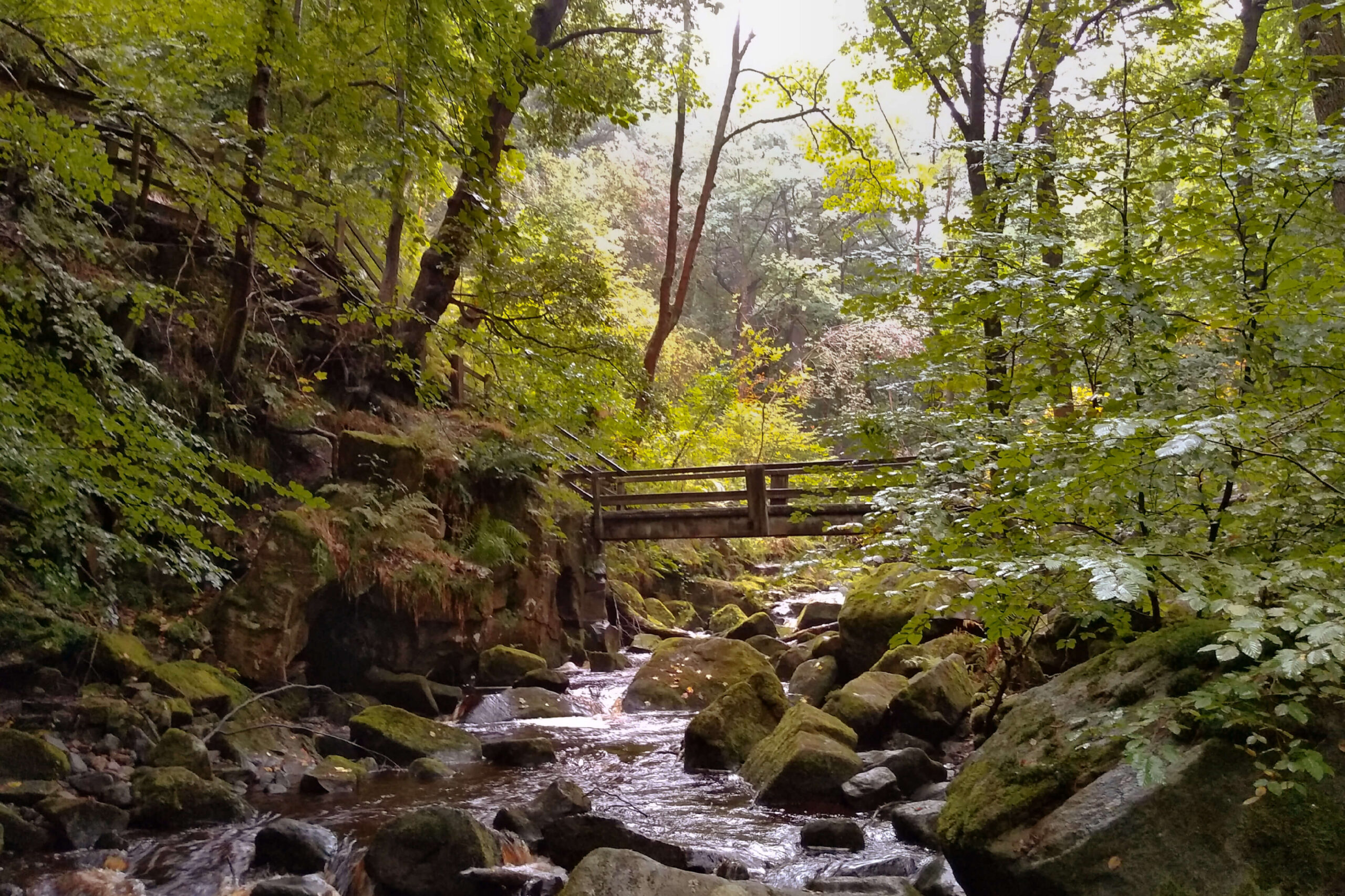
Burbage Brook has cut Padley Gorge down through the gritstone, and the sides are clothed in sessile oak and birch that have stood here since at least medieval times. From the Longshaw Estate the 4.3 mile loop crosses open heath, drops into the gorge beside small waterfalls and mossy rocks, comes out at Grindleford Station, then climbs back through woodland to the Longshaw parkland. Pied flycatchers nest in the canopy from spring, and the light under the oaks has a green, underwater quality.
The brook flows all year with plenty of places to wade in, and the smell of wet moss and cold stone will keep any nose busy. The drawback is underfoot and at the top: the gorge banks are steep and the boulders slippery, which suits sure-footed dogs rather than unsteady ones, and cattle graze the Longshaw heath, so leads go on there. Inside the gorge off lead potential is moderate. There are cafes and toilets at Longshaw and at Grindleford Station, and the Stanage Edge Full Crest Walk starts 1.5 miles away.
- Distance: 4.3 miles, circular
- Difficulty: Easy
- Terrain: Woodland and riverside, with rocky, uneven ground in the gorge
- Off lead potential: Moderate in the gorge, leads on the heath for cattle
- Best for: Water-loving dogs who are steady on rocks
Etherow Country Park Circular, Compstall
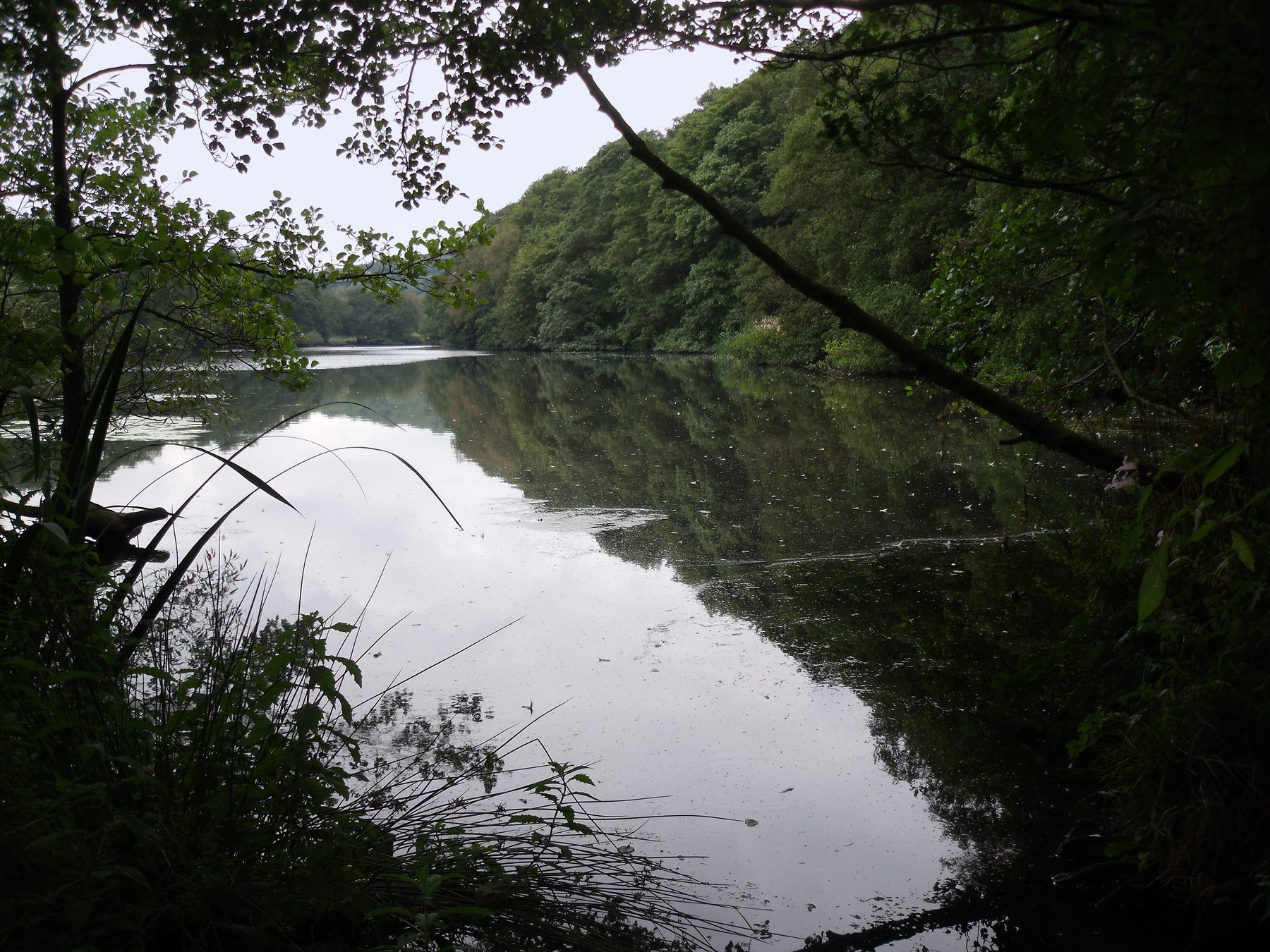
Etherow was once the estate of a cotton mill and is now a local nature reserve, and it fits a surprising variety into 3.1 miles: the River Etherow, a broad boating lake, a weir in full roar after rain, and mature beech and oak on the slopes above the water. Paths are mostly tarmac and compacted gravel by the lake, with rooty woodland trails rising towards the weir. There is a cafe with toilets at the visitor centre, with Compstall's pubs a short walk away.
Most of the lake and river stretches allow relaxed off lead walking, but signs ask for leads around the waterfowl, by the visitor centre and in the George Street car park. If you take the longer loop into Ernocroft Wood and the farm sections, there can be sheep, so clip on at the park boundary. It is also a park the whole area knows about, and it fills with regulars at weekends. Parking is pay and display, around £3.60 for four hours.
- Distance: 3.1 miles, circular
- Difficulty: Easy
- Terrain: Tarmac and gravel by the water, rooty woodland trails on the slopes
- Off lead potential: High, with leads near the waterfowl and the visitor centre
- Best for: Sociable dogs and a cafe stop at the end
Tittesworth Reservoir
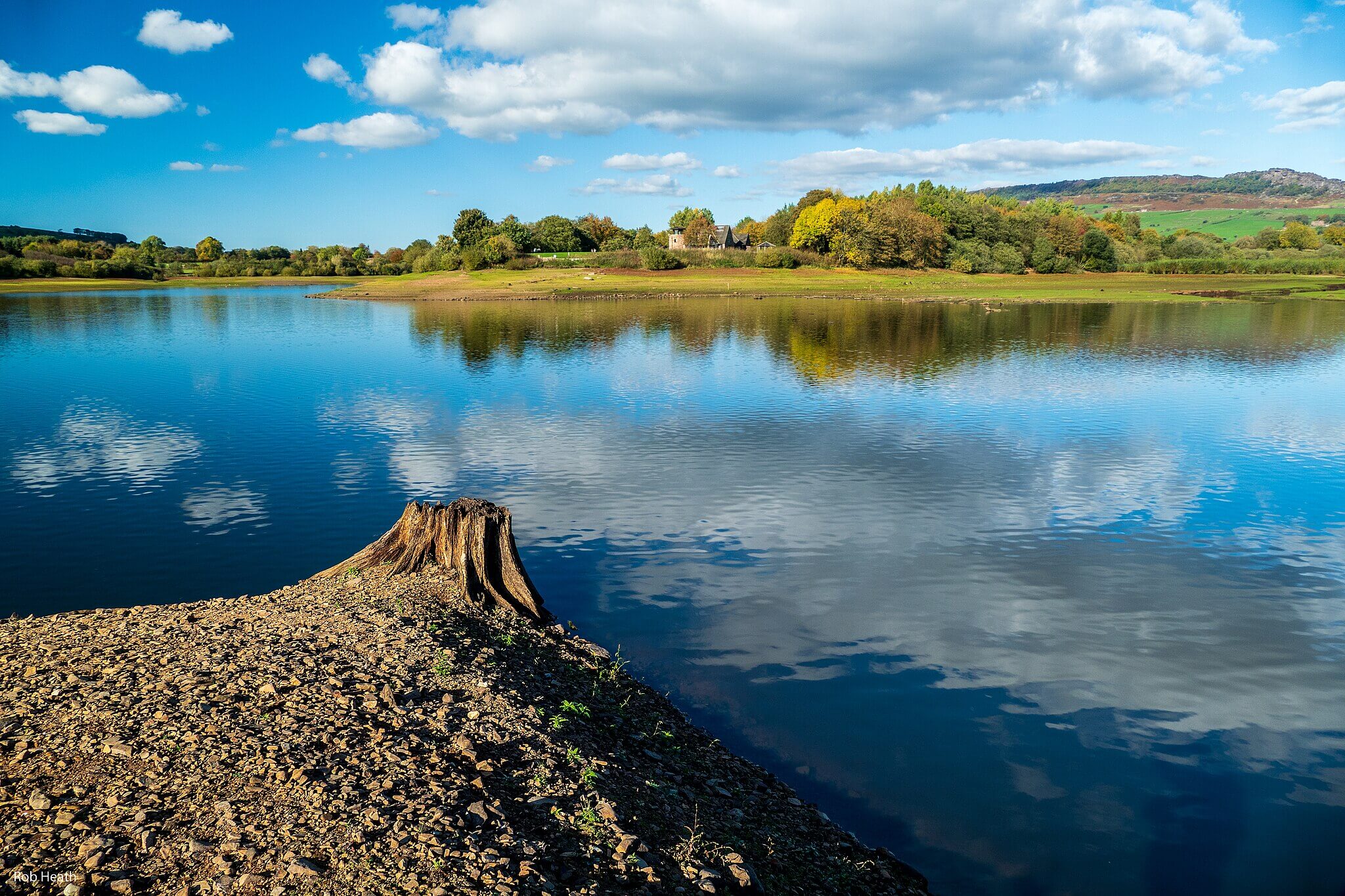 Photo Credit: Robert J Heath
Tittesworth lies under the Roaches escarpment in the Staffordshire Moorlands, and this 4.7 mile circuit follows well-kept paths right round the water. The eastern bank runs through mixed woodland with broken light on the path; the western return uses farm tracks with the Roaches ridge above. Two bird hides look out for teal, wigeon and great crested grebes, and the 134 metres of climbing are spread so gently you barely notice them.
The catch is the lead: dogs stay on one the whole way, a Severn Trent Water requirement to protect the wildfowl. Livestock barely comes into it. In warm months the reservoir can carry blue-green algae, so keep dogs out of the main water and use the River Churnet by the visitor centre for a paddle instead. The cafe welcomes dogs at its outdoor tables, and for a wilder second outing, The Roaches and Lud's Church starts 1.1 miles away.
- Distance: 4.7 miles, circular
- Difficulty: Easy
- Terrain: Lakeside paths and woodland
- Off lead potential: Low, with leads required throughout
- Best for: Calm dogs happy on a lead and owners who like birdwatching
Macclesfield Forest Dog Walk, Cheshire
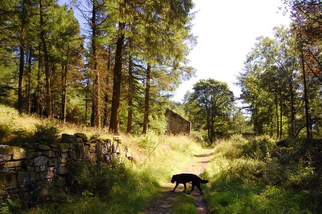 Photo Credit: Trevor Harris
Macclesfield Forest is a plantation of spruce, larch and pine spread over the hills east of Macclesfield, on the western slopes of the Peak District foothills. The 4.5 mile circuit from Trentabank follows forest roads and narrower tracks up to clearings that look out over the Cheshire Plain, then drops back to the reservoirs in the middle of the forest. There are 293 metres of ascent, more than most Cheshire walks ask for, and goshawks breed here, with a heronry by the reservoir.
Off lead potential is high: the tracks are wide, livestock is minimal inside the forest, and the dense canopy keeps off wind and rain. The concession is character and mud. This is commercial conifer rather than old broadleaf wood, so expect rows of trunks rather than gnarled oaks, and the lower paths near the reservoirs get muddy after rain, although the higher forest roads drain well. Our listing records no facilities on site, so bring water for afterwards. Tegg's Nose Country Park Trail is only 0.8 miles away.
- Distance: 4.5 miles, circular
- Difficulty: Moderate
- Terrain: Forest roads and narrower woodland tracks
- Off lead potential: High, with minimal livestock inside the forest
- Best for: Energetic dogs who need miles and climbing in all weathers
Sett Valley Trail: Hayfield to New Mills
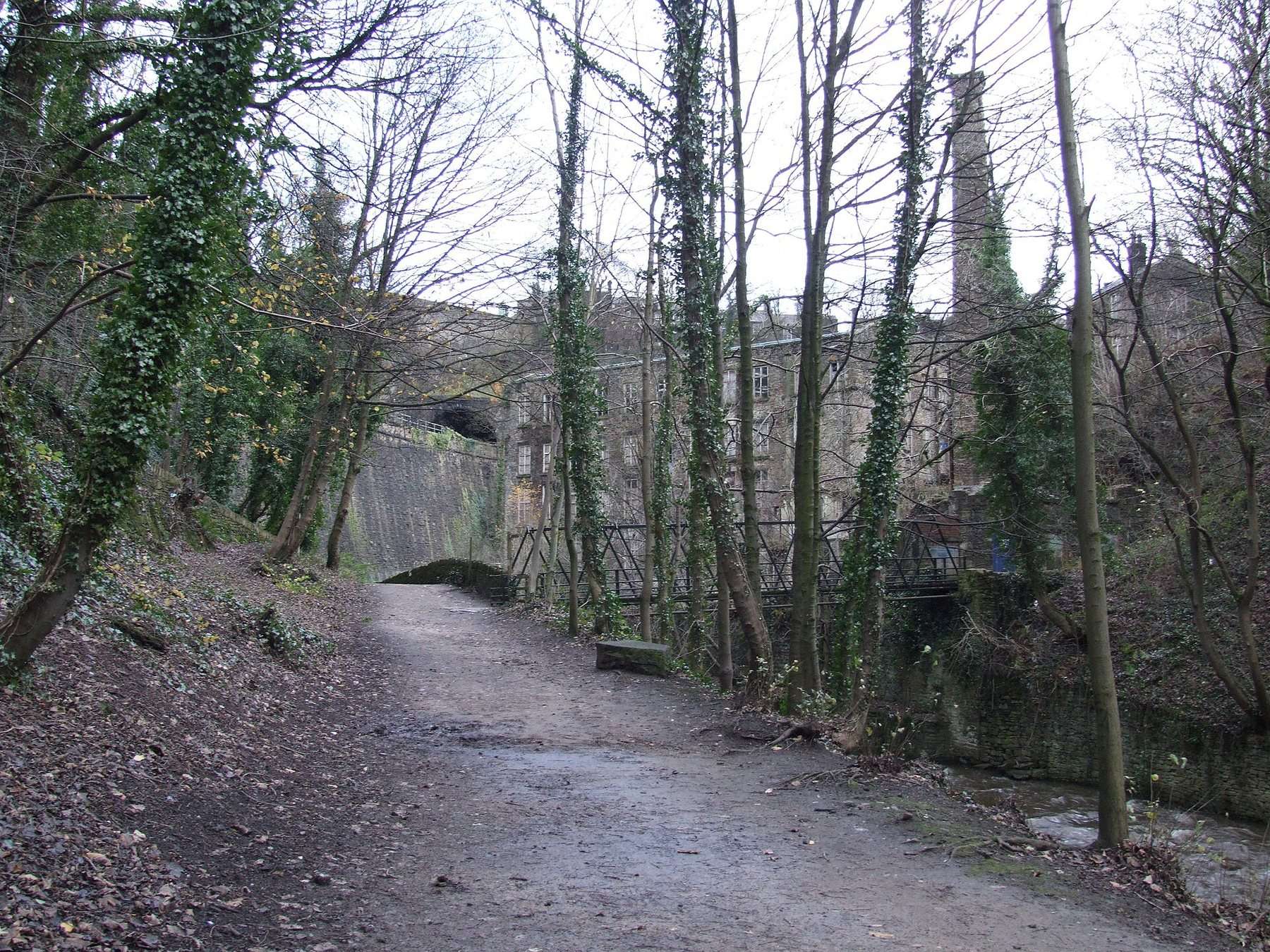
Trains ran up this valley from New Mills to Hayfield from 1868 until 1970, and Derbyshire County Council opened the trackbed as a path in 1979. It heads west through Birch Vale, Thornsett and Ollersett beside the River Sett, past riverside woodland, meadows and the remains of old mills, and ends in New Mills above the Torrs Riverside Park and the Millennium Walkway in the gorge. Walked there and back it comes to 5 miles, all of it level and away from traffic.
The caveat is company. Between Hayfield and Birch Vale the trail doubles as part of the Pennine Bridleway, so cyclists and horse riders share it, recall matters, and a lead makes sense whenever bikes or horses come by. It is also an out and back rather than a loop, and the trees here line the old railway rather than closing over it. For an older dog or a puppy, that flat, even surface is the reason to come. The old Hayfield station is now a pay and display car park with toilets.
- Distance: 5.0 miles, out and back
- Difficulty: Easy
- Terrain: Level former railway path past riverside woodland and meadows
- Off lead potential: Moderate, with cyclists and horse riders on the trail
- Best for: Older dogs and puppies who prefer gentle, even going
Rivelin Valley Circular Walk, Sheffield
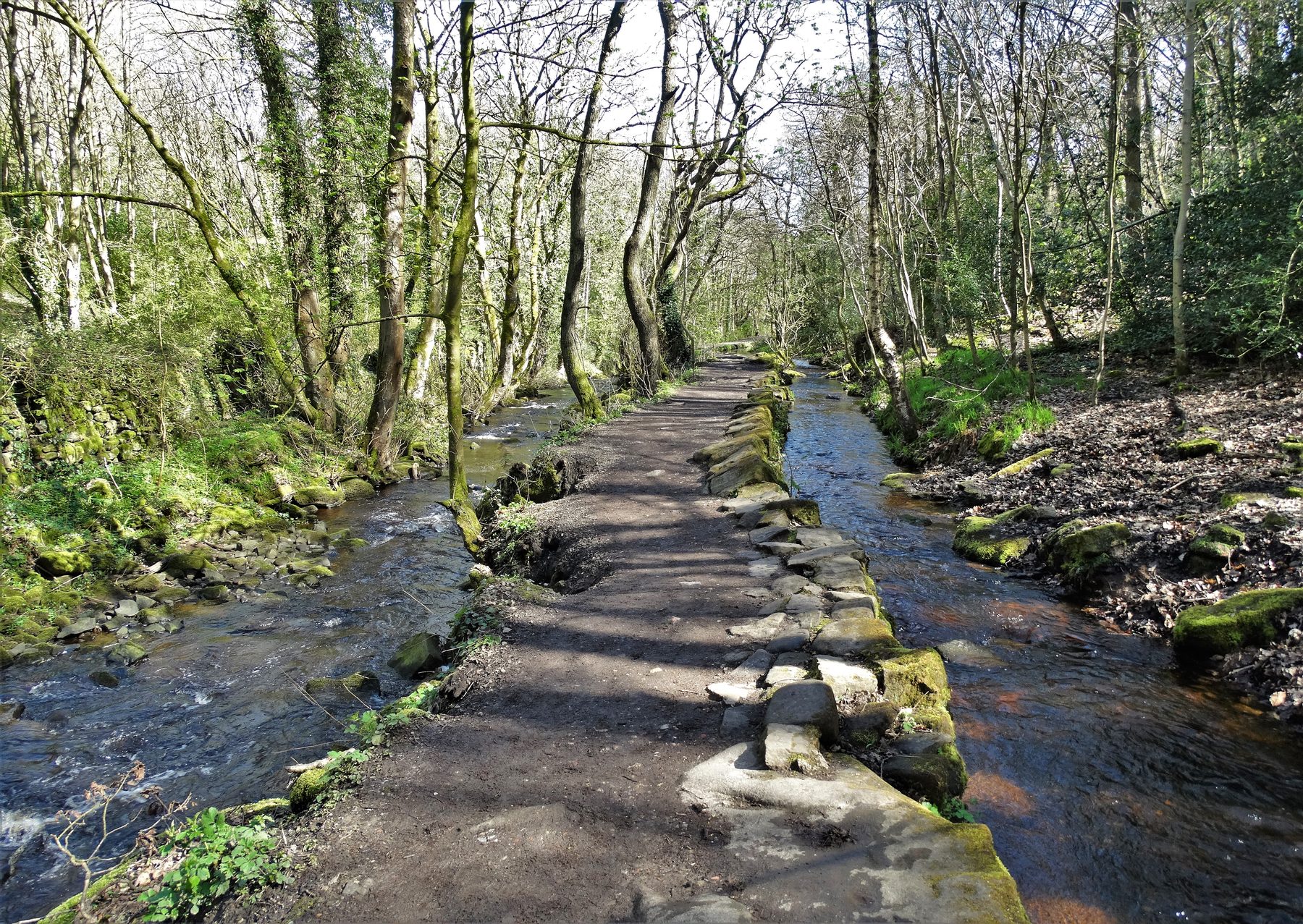
The Rivelin Valley Nature Trail is a Sheffield favourite, and this 4 mile loop uses both banks of the river. From near Malin Bridge it heads upstream on the wooded trail past old mill ponds, stepping stones and small weirs, then crosses and comes back down the other side. Trees shade most of the route, which is why it earns its place on a hot afternoon when the moors above feel exposed.
There is no livestock on the trail, dogs can run off lead along most of it, and several shallow spots on the river make for safe paddling. The trade-off is that it is a city valley: joggers, families and plenty of other dog walkers use it, so good recall helps at busy times and a lead is wise at the road crossings at each end. Rivelin Park Cafe has toilets, and there is free parking at Walkley Bank Tilt, Rails Road and Rivelin Dams.
- Distance: 4.0 miles, circular
- Difficulty: Easy
- Terrain: Firm woodland paths and surfaced trails, mostly flat
- Off lead potential: High, with leads near the road crossings
- Best for: Hot days and dogs who want to be in the river
Lyme Park, the Cage and Lantern Wood, Disley
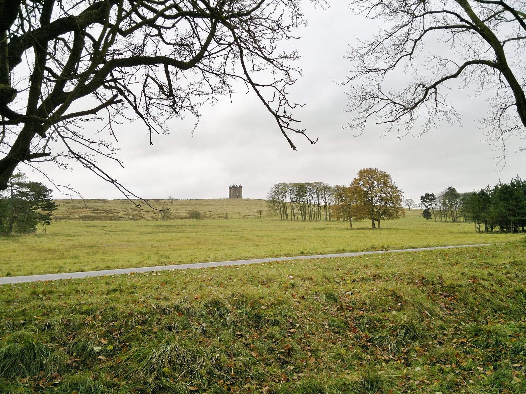
Lyme is a National Trust estate above Disley, where a 16th century house sits in a medieval deer park of moor, wood and grass that still holds red and fallow deer. This 3 mile circuit climbs the short, steep slope of Cage Hill to the Cage, a hunting lodge later used as a keeper's cottage and a lock-up, crosses moorland along the edge of the deer sanctuary, then drops into Lantern Wood and its stone folly before returning past the pond in Turfhouse Meadow.
Dogs are welcome across the park, but the National Trust asks for a short lead the whole time because of the free-roaming deer and grazing cattle, so off lead potential is none. The deer often stand close to the path, which makes this a frustrating outing for a dog that pulls towards wildlife. The grassy tracks also turn muddy after rain. Lantern Wood brings shade and the streams give a drink, and there are cafes and toilets near the house and the Timber Yard, though dog access inside them is not confirmed.
- Distance: 3.0 miles, circular
- Difficulty: Easy
- Terrain: Parkland, moorland and woodland tracks, muddy after rain
- Off lead potential: None, with deer and cattle throughout
- Best for: Calm, lead-trained dogs and owners who want history with their walk
Chee Dale Stepping Stones from Miller's Dale
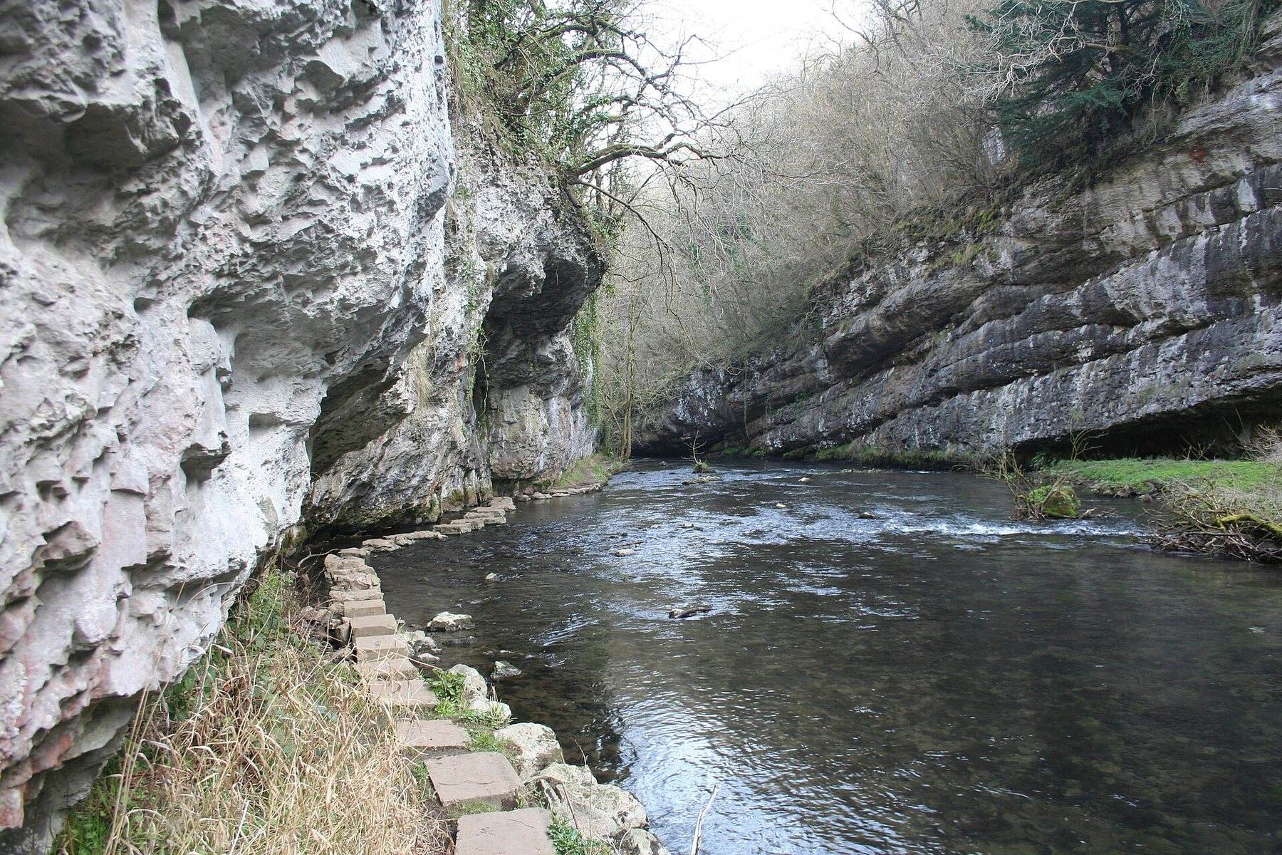
West of Miller's Dale the River Wye has carved a gorge some 60 metres into the limestone, and Chee Dale is its narrowest, most dramatic stretch, with crags and ash woodland on both sides. Much of it is a Derbyshire Wildlife Trust reserve and a Site of Special Scientific Interest, known for early purple and bee orchids, Jacob's ladder and dippers on the water. This 5 mile circuit follows the Monsal Trail to the dale, then drops to the river, where boardwalks and two sets of stepping stones carry the path along the foot of the cliffs.
It is a proper adventure, but it comes with conditions. The reserve asks for dogs on a lead, the stepping stones are easiest with your dog walking beside you, and after heavy rain the current runs hard and the stones can go under. The path is rocky and muddy, there are three stiles, and the circuit adds up to around 358 metres of climbing. Livestock rarely appears in the dale, and the level Monsal Trail gives an easier way back. Miller's Dale car park has toilets and a seasonal cafe kiosk.
- Distance: 5.0 miles, circular
- Difficulty: Moderate
- Terrain: Rocky riverside path, boardwalk, stepping stones and woodland
- Off lead potential: Low, as the nature reserve asks for leads
- Best for: Agile, confident dogs and a dry spell
Ecclesall Woods Circular, Sheffield
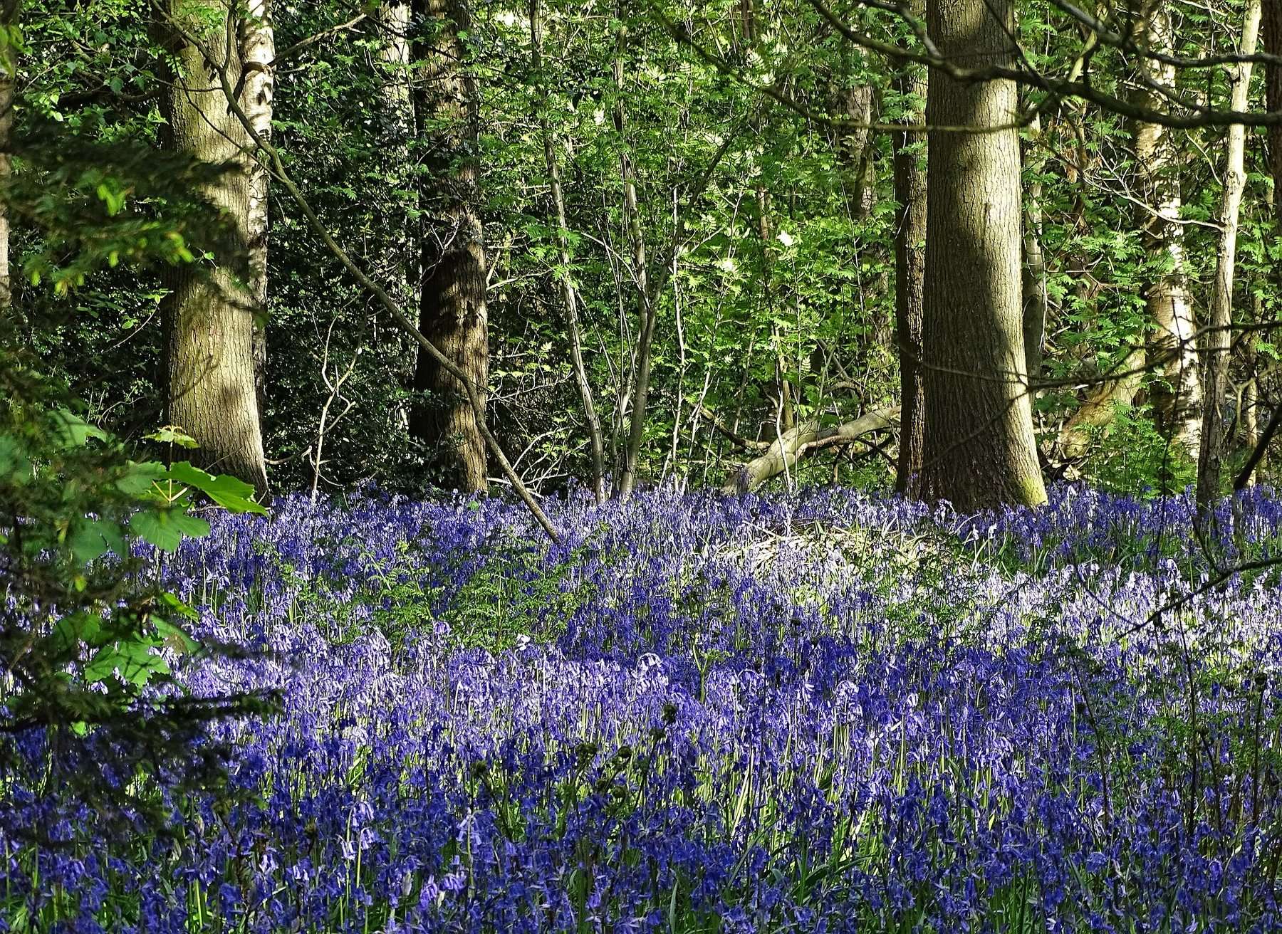
Ecclesall Woods is the largest ancient semi-natural woodland in South Yorkshire, between Ecclesall and Dore on the city's edge. For over two centuries it was worked as coppice with standards, and the ground still carries Q-pits, the charcoal hearths that once fed Sheffield's iron and cutlery trades. Limb Brook, which crosses the wood, marked the line between Northumbria and Mercia and later between Yorkshire and Derbyshire until the 1930s. The 1.9 mile loop from the Woodland Discovery Centre follows wide, purpose built paths through oak, birch and beech.
There is no livestock, so a friendly dog with good recall can be off lead from start to finish, and the old coppice stools and leaf litter are rich in scent, with Limb Brook for a paddle. The catch is popularity. Walkers, runners and mountain bikers all use the wood, which may unsettle a dog nervous of bikes, and the whole route has one dog waste bin, at the entrance gate, so carry bags all the way round. It is also short, with tree roots, some steps and about 40 metres of climbing. Toilets and the Woodland Coffee Stop are at the Discovery Centre.
- Distance: 1.9 miles, circular
- Difficulty: Easy
- Terrain: Wide woodland paths with roots, stone edging and a few steps
- Off lead potential: High, with no livestock
- Best for: A short off lead run in genuinely old woodland
Darley Dale Riverside and Park Loop (Whitworth Park area), Derbyshire
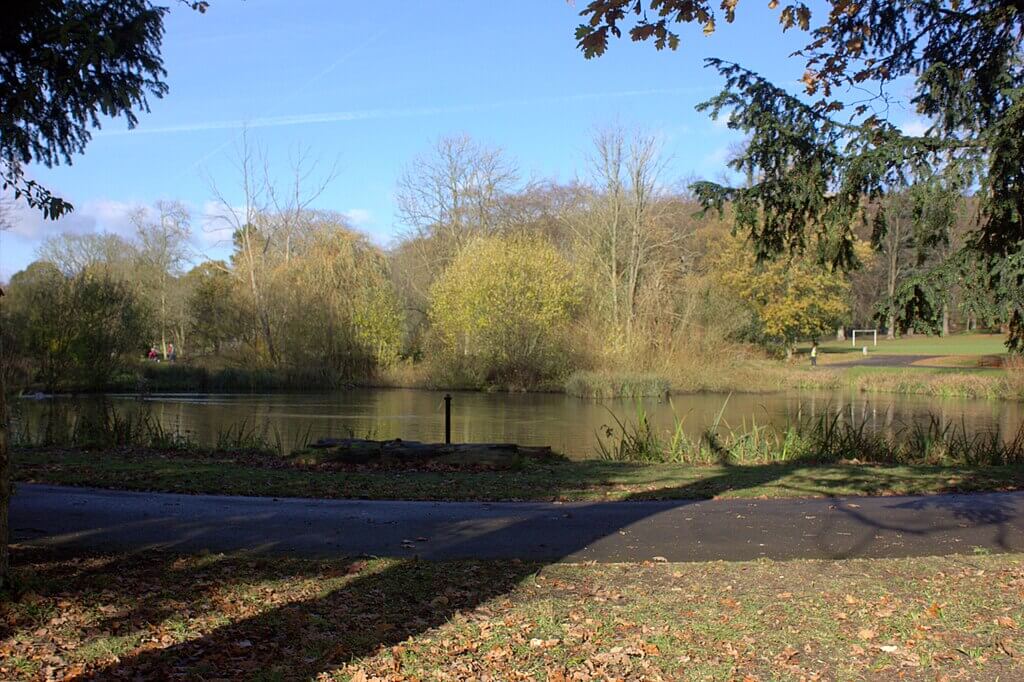 Photo Credit: Robert Eva
Darley Dale sits in the Derwent Valley between Matlock and Bakewell, and this 4 mile loop from Whitworth Park mixes riverside walking beside the Derwent with parkland and pockets of mixed woodland. The route climbs gently through the park and the trees before returning to the valley floor, and its 94 metres of climbing hardly register. Paths are well maintained, and the sheltered valley makes it a dependable choice when the weather turns.
The concession is in the name: this is a river and park walk with some woodland, rather than a woodland walk with a river, so the canopy comes in patches. Off lead potential is moderate, through the quieter parkland and wooded sections where there is no livestock. What it offers in return is ease. Parking at Whitworth Park is free, there is a cafe, toilets, playground and picnic sites, and for a harder day, the walk up High Tor from Matlock Bath begins 3 miles away.
- Distance: 4.0 miles, circular
- Difficulty: Easy
- Terrain: Riverside, parkland and patches of woodland
- Off lead potential: Moderate, in the quieter park and wooded areas
- Best for: Everyday outings with dogs of any age
High Bradfield, Dale Dike and Agden Reservoirs Circular, Low Bradfield
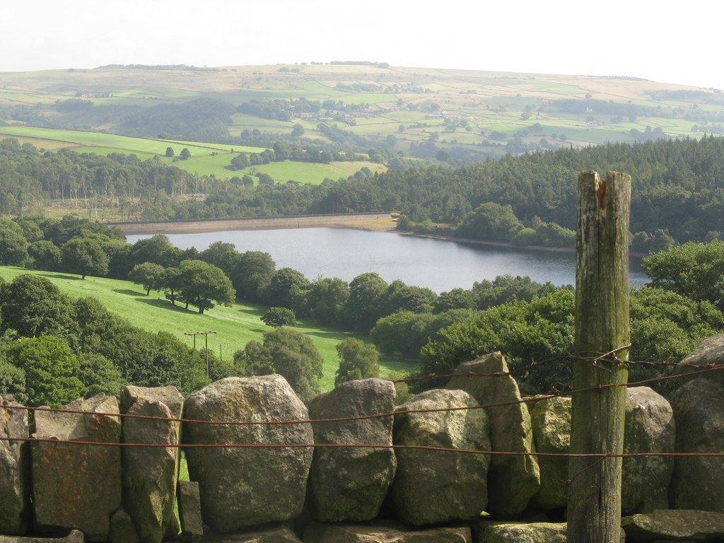
The Bradfield villages sit inside the national park in the hills west of Sheffield, and this 4.5 mile circuit climbs from Low Bradfield to St Nicholas's Church at High Bradfield before dropping to Dale Dike and Agden Reservoirs. Dale Dike carries a grim history: in 1864 its new embankment gave way and around 650 million gallons poured down the Loxley Valley into Sheffield, killing more than 250 people, and a memorial on the route marks it. Country lanes, woodland paths and reservoir tracks make up the rest, with wide views back over both reservoirs from the top.
This is the most farmed walk on the list, and the woodland is only one part of it. Sheep are likely in the fields, so leads go on near livestock, and you may have to lift your dog over a couple of ladder stiles, with a squeeze stile as well, on roughly 280 metres of climbing. The flatter reservoir tracks give a dog with good recall more room, but Yorkshire Water asks that dogs stay out of the water because of hidden machinery and a blue-green algae risk. Street parking in Low Bradfield is free, and the Old Horns Inn nearby is known as dog friendly.
- Distance: 4.5 miles, circular
- Difficulty: Moderate
- Terrain: Farmland, woodland paths, lanes and reservoir tracks, with stiles
- Off lead potential: Moderate, on the reservoir tracks away from sheep
- Best for: Liftable, livestock-steady dogs and a pub lunch afterwards
Practical Advice for Woodland Dog Walks in The Peak District
- Check the lead rules before you pick: they range from none at Lyme to the whole route off lead at Ecclesall Woods, and on National Trust, wildlife trust and water company land the rule is set by the landowner rather than by how quiet the path looks.
- Mind the bird season: on open moorland such as the top of Froggatt Edge, the ground-nesting season runs 1 March to 31 July, and dogs need short leads throughout it.
- Keep dogs out of reservoir water: both Severn Trent at Tittesworth and Yorkshire Water at Bradfield ask for it, citing blue-green algae and, at Bradfield, hidden machinery. Rivers such as the Churnet, Rivelin and Burbage Brook are the better places for a paddle.
- Expect mud after rain: Lyme, Chee Dale and the lower paths of Macclesfield Forest all turn soft, and the stepping stones in Chee Dale can flood.
- Share the trail politely: cyclists and horse riders use the Sett Valley Trail, and mountain bikers ride through Ecclesall Woods, so call your dog in when you hear them coming.
- Carry bags for the whole walk: Ecclesall Woods has a single bin, at the entrance gate.
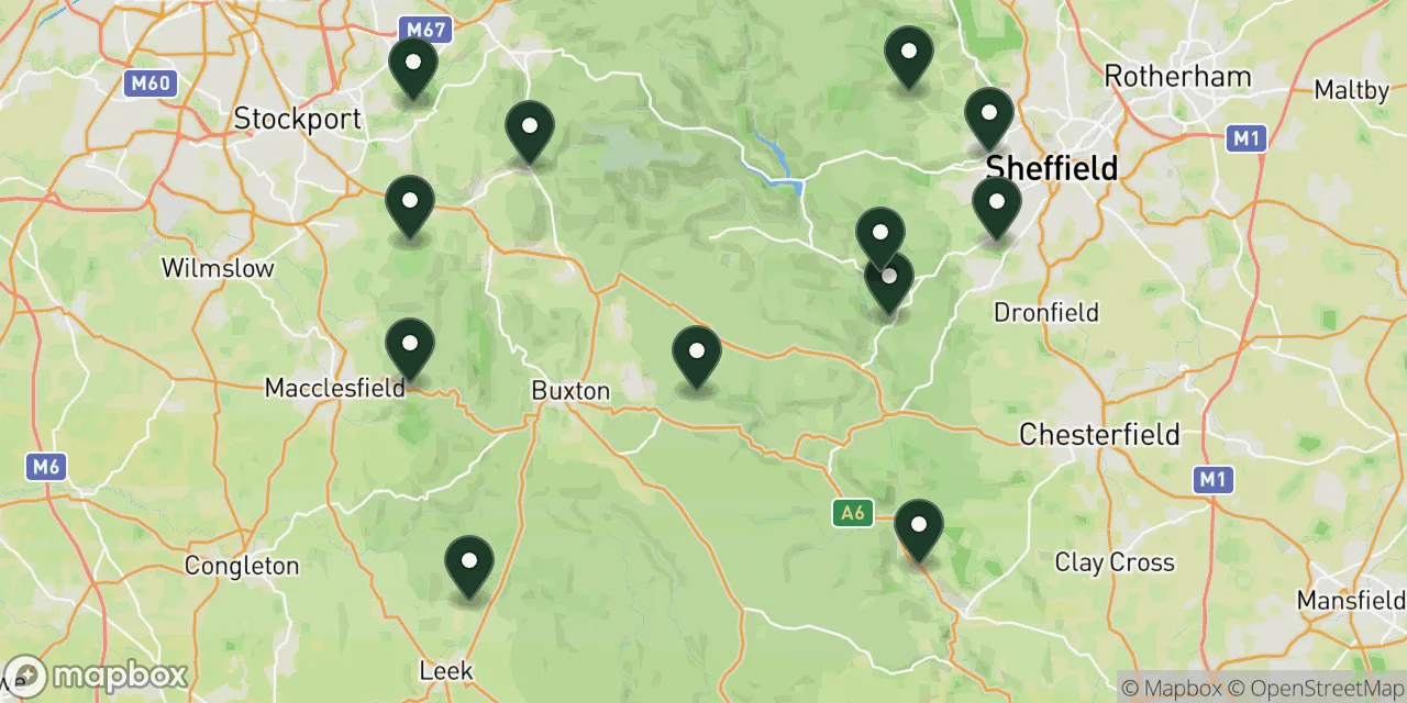
Map of Woodland Dog Walks in The Peak District
Seen together, the twelve trace a ring around the park: Sheffield's valleys and the Bradfield reservoirs to the east, Froggatt, Padley and Darley Dale along the Derwent, Chee Dale in the limestone heart, and Hayfield, Lyme, Macclesfield Forest and Tittesworth down the western side. Whichever wood you settle on, the Wildpack map shows the dog friendly stays and further routes around it.
 12 walks on this page
Map these walks, and thousands more
The Wildpack Map plots every dog friendly walk, beach, stay and attraction we have listed across the UK. Open it to see what else is within reach in The Peak District, filter by what your dog needs, and get directions to the car park.
What's Nearby?
If these woods have you planning a longer trip, try these next:
- Best dog walks in the Peak District: For the big open routes from Mam Tor to Dovedale once you have had your fill of shade.
- Dog friendly walks in Derbyshire: More reservoir trails and dales across the rest of Derbyshire.
- Dog friendly walks in Cheshire: Sandstone ridges and more woodland for anyone who liked Macclesfield Forest or Lyme.
- Dog friendly walks in Staffordshire: Moorland and woodland routes around Tittesworth and the Roaches.
- Dog friendly campsites in the Peak District: Somewhere to pitch up within reach of the edges and dales.
To browse every dog walk in the area, start with the Peak District or Derbyshire.
Final Thoughts
The Peak District's woods reward owners who choose by the dog rather than the postcard. If yours needs to run, go to Ecclesall Woods, Macclesfield Forest or the Rivelin Valley, where the lead can come off and stay off. If yours loves water and has good feet, Padley Gorge is the one. Lyme, Tittesworth and Chee Dale are lead walks, and they suit a calm dog and an owner who has come for the deer, the birds or the gorge.
For an older dog or a puppy, the level Sett Valley Trail and the gentle Darley Dale loop ask the least. And if you want a single day that covers edge, wood and a cafe at the bottom, start on Froggatt Edge and walk down through Hay Wood to Grindleford.
Some links in this guide are affiliate links. We may earn a commission if you book through them, at no extra cost to you. It never affects which places we list or what we say about them.